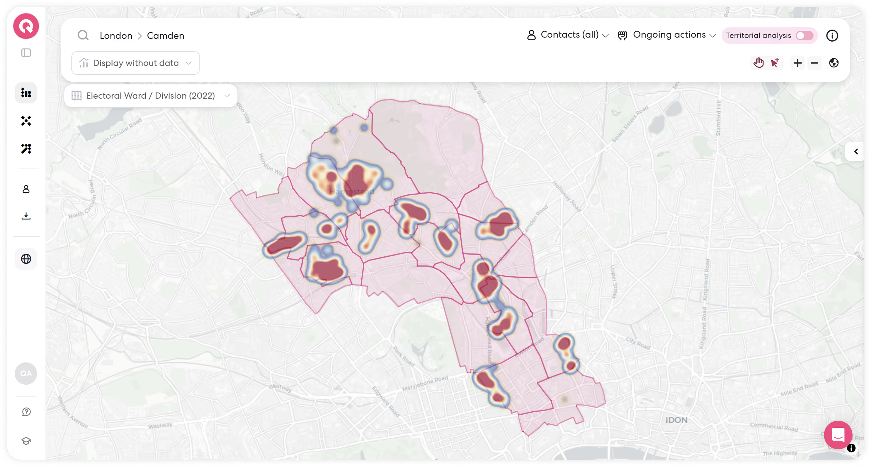
See your whole organization on a map.
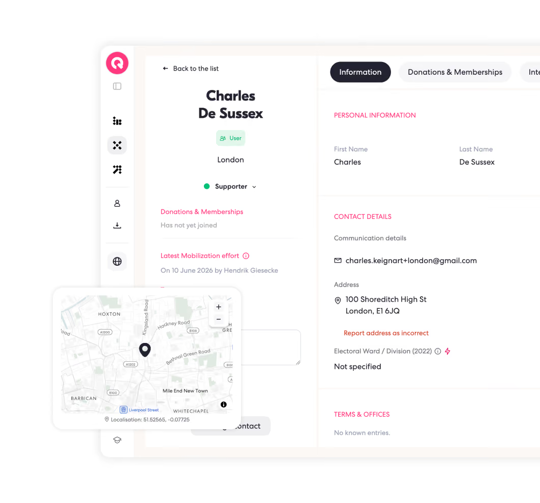
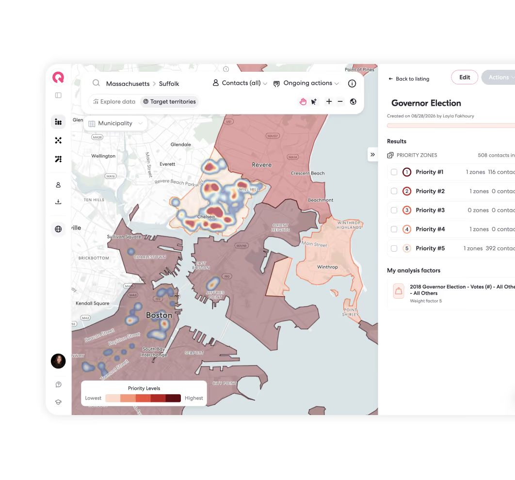
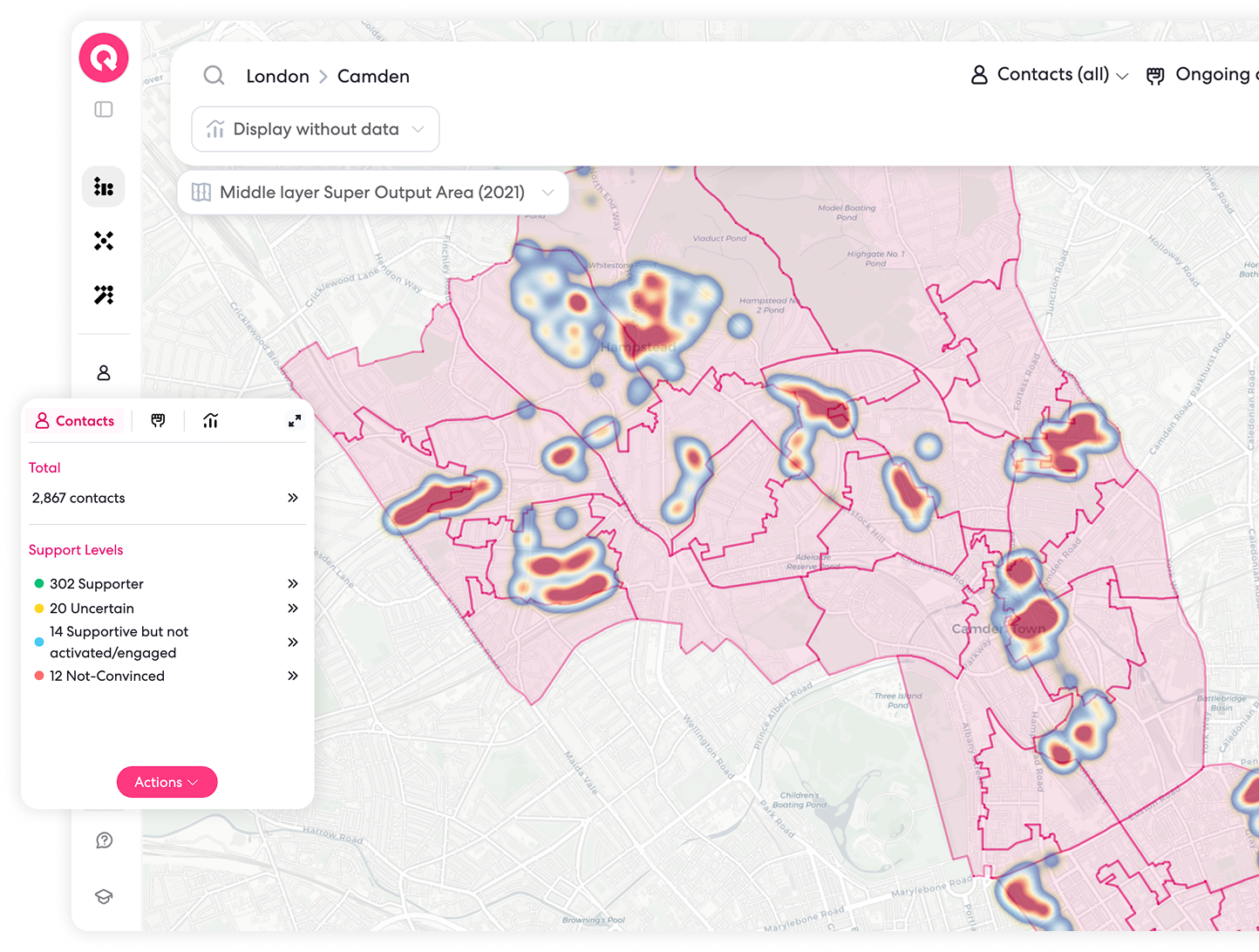
See where your people are, where your teams have been, and where you should go next. Qomon turns addresses into locations, brings your contacts, actions, territories and data together, and lets you act directly from the map.
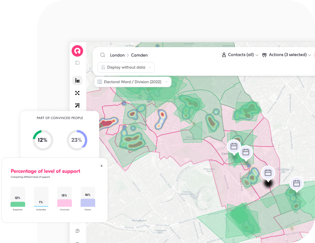

See everything on the map.
Contacts, supporters, volunteers, donors, actions, territories.
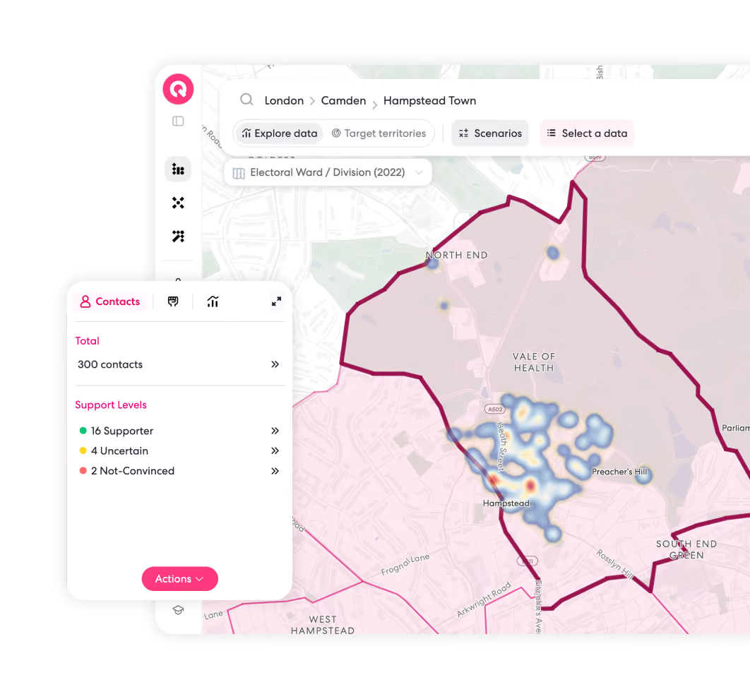
Put your data on the map and understand what is happening where.
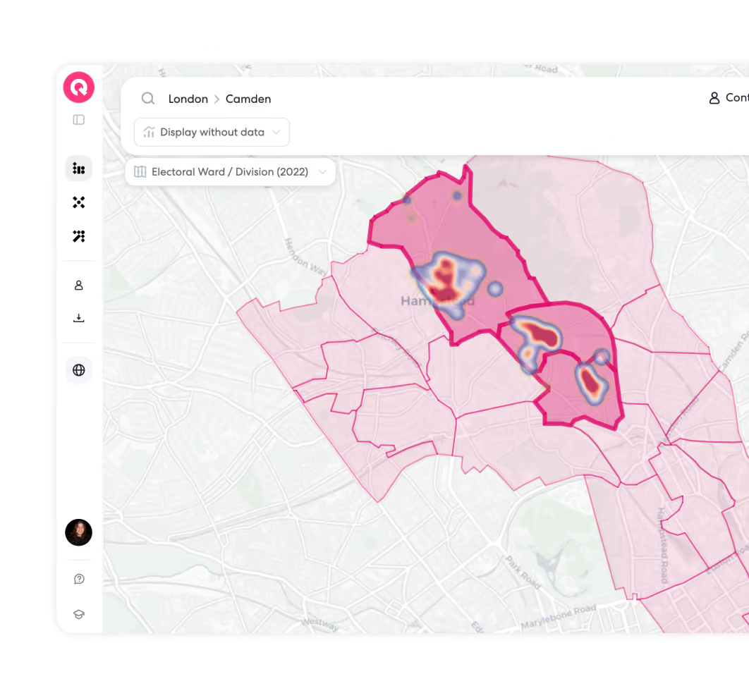
Zoom out to see the big picture.
Zoom in to a territory, neighborhood, street, or individual contact.
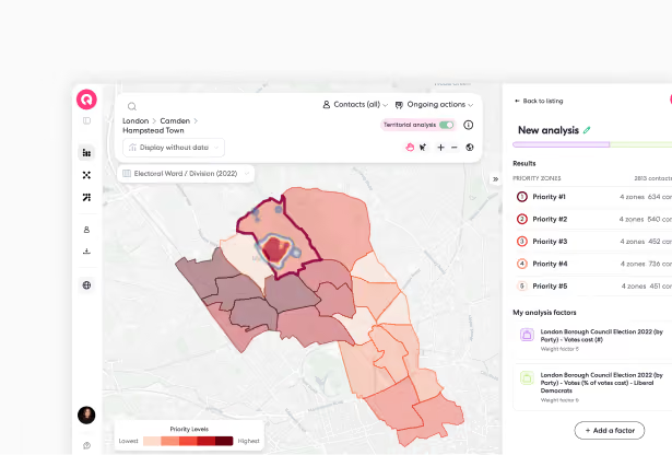
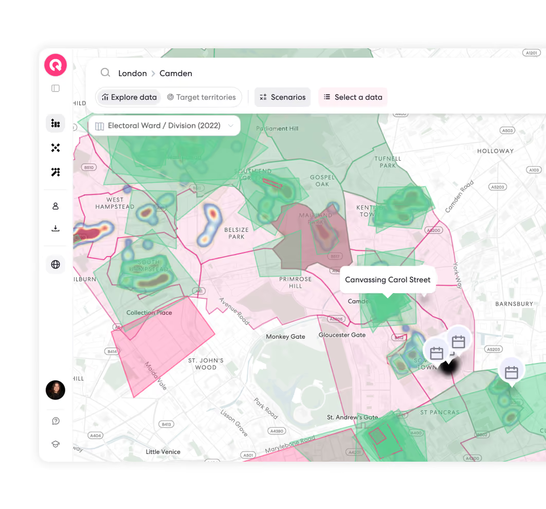
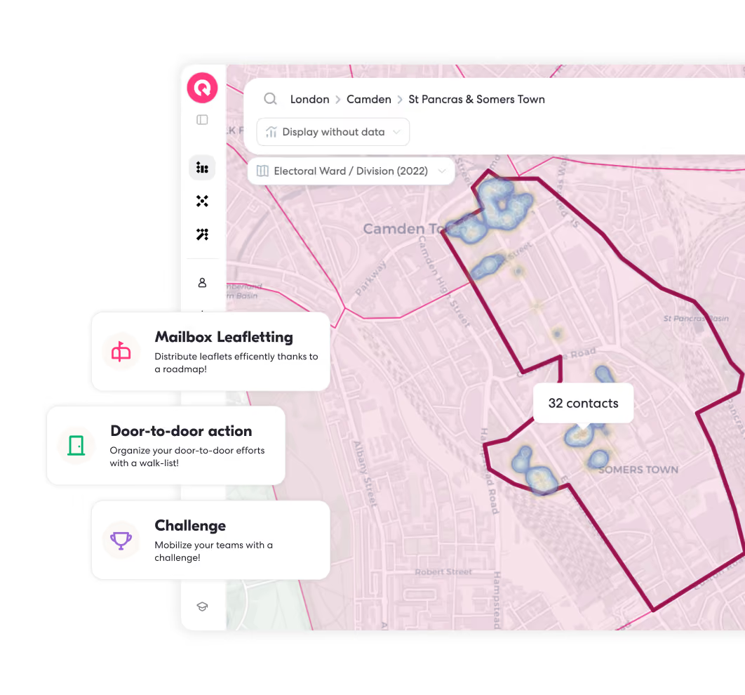
Know where you’ve already been.
See where your teams have taken action and where there is still work to do.
Keep past and ongoing field activity visible so you can avoid overlap, spot gaps, and know where to focus next.
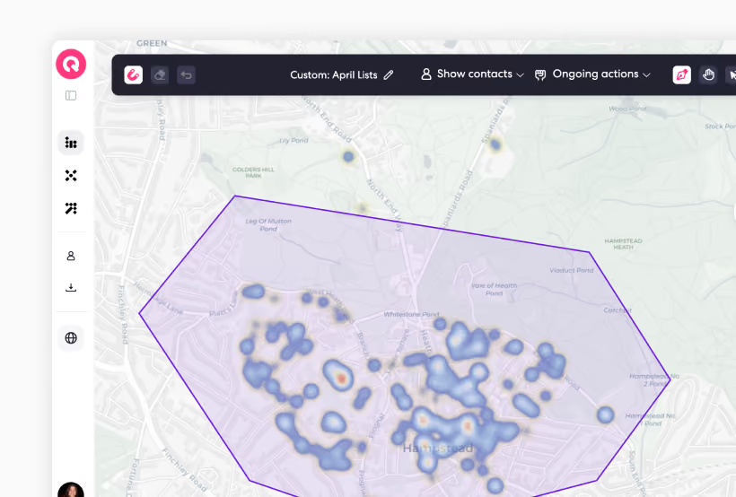
Built around your reality.
Borders on a map rarely match borders in the field. With Custom Turf, split up a neighborhood, create new zones from scratch, or fix boundaries that doesn't fit with the way you actually organize.
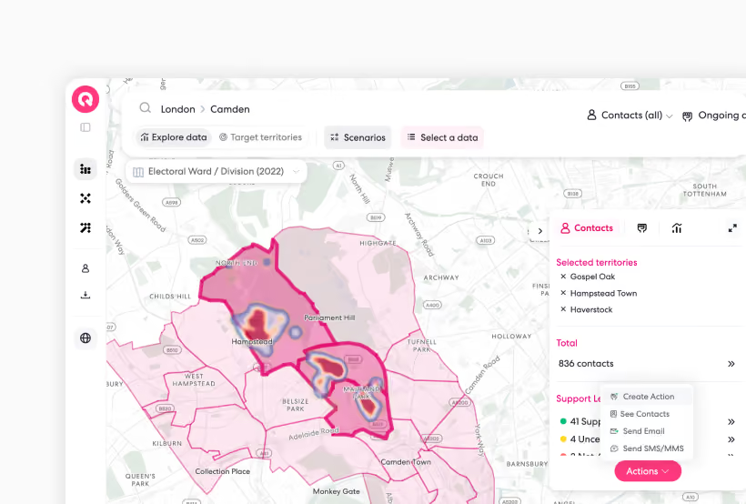
Turn the map into action.
Seeing an area is useful. Being able to act on it is the whole point.
Select one or several territories.
See the people inside.
Build a list.
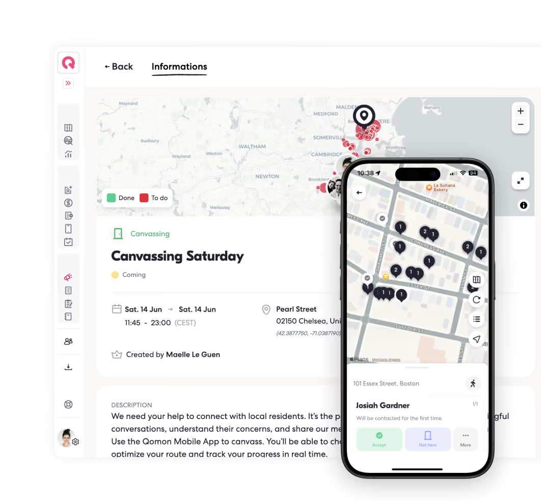
Launch a canvassing action.
Send an email or SMS.
Go straight from place, to people, to action.
Maps built for organizers.

Frequently Asked Questions





Can I use Qomon maps at every level?
Yes. Qomon is built for teams organizing at every level, from neighborhoods and cities to regions, countries, and even internationally.
Zoom out to see the big picture, or zoom in to a territory, neighborhood, street, or individual contact.
Are Qomon maps and geocoding available in my country?
Qomon maps are available across countries, but available territory levels and geographic data can vary by location.
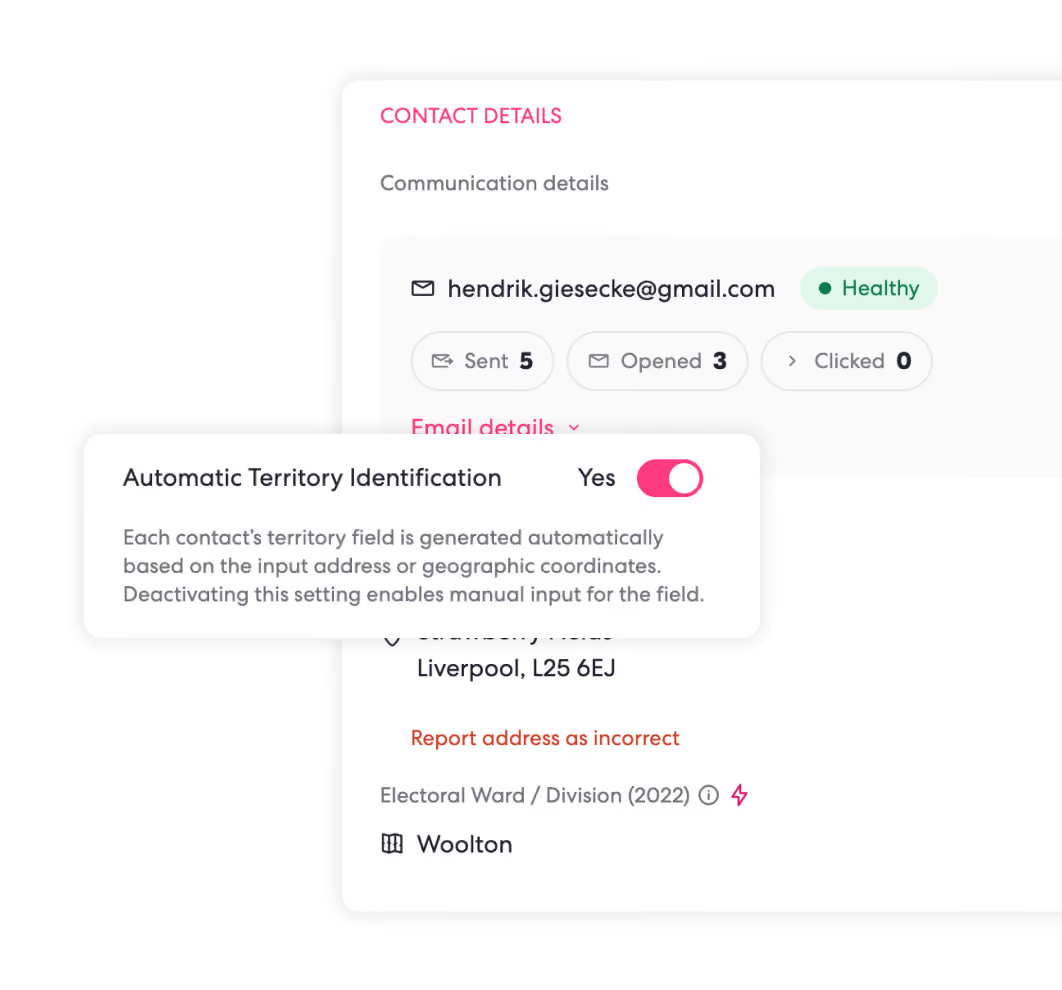
For geocoding, Qomon uses different mapping and address providers depending on the country and address, helping match each contact to the most accurate location available. If geocoding accuracy is limited in your country or state, contact our support team and we can look at alternative solutions. Additional fees may apply.
If the territories you need are not already available, you can also create and manage your own custom boundaries directly in Qomon.
Can I see more than where my contacts live and where my actions happen?
Qomon maps are available across countries, but available territory levels and geographic data can vary by location.
For geocoding, Qomon uses different mapping and address providers depending on the country and address, helping match each contact to the most accurate location available. If geocoding accuracy is limited in your country or state, contact our support team and we can look at alternative solutions. Additional fees may apply.
If the territories you need are not already available, you can also create and manage your own custom boundaries directly in Qomon.
Can I see more than where my contacts live and where my actions happen?
Yes. Your map can bring together contacts, actions, territories, and other geographic data.
Depending on the data available to your country and your data plan, you can also add electoral, demographic, socioeconomic, or other data to better understand each area, compare territories, and decide where to focus.
Can I create my own territories?
Yes. You are not limited to the borders already available on the map.
Draw your own territories, change boundaries, split areas, group zones together, and create the turfs that match how your team actually organizes.
Can I bring my own geographic data into Qomon?
Yes. Beyond contacts and supporter data, you can also add geographic datasets that are useful to your organizing, such as electoral data, census data, custom boundaries, or other location-based information.
If the data is not already available in Qomon and your plan includes this option, our data team can import it for you and make it available on your map.
Self-service import for these types of datasets is coming soon.
From map to action with Qomon.